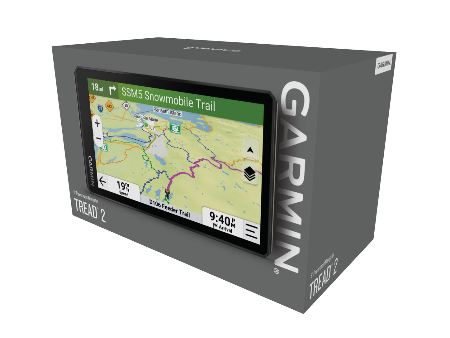
-RUGGED DESIGN - The 6” high-resolution, ultrabright and glove-friendly touchscreen navigator is purpose-built to withstand extreme temperatures and weather (IP67 dust/water rating). The upgraded processor delivers faster performance, including map drawings and route calculations. Roll tube and handlebar mounts are included to easily install on your powersport vehicle.
-TURN-BY-TURN NAVIGATION - Get turn-by-turn trail navigation for unpaved roads and trails in off-road riding areas with OpenStreetMap™, U.S. Forest Service Motor Vehicle Use Maps and Adventure Roads and Trails map content.
-HIGH-DEFINITION ELEVATION MAPS - Venture off-road with high-definition digital elevation maps for dirt and snow trails, or follow the preloaded City Navigator® maps for street routes.
-SUPPORTS OUTDOOR MAPS+ - Purchase an Outdoor Maps+ subscription for ongoing access to premium map content, including slope angle, slope aspect, avalanche risk report and more.
-"SNOWMOBILE TRAILS & LAND BOUNDARIES:
SNOWMOBILE TRAILS - View snowmobile trail content for select areas within the U.S. and Canadian provinces; includes snowmobile-accessible locations such as fuel stops, warming shelters, restaurants and more.
LAND BOUNDARIES - Access public land boundaries for national forests, Bureau of Land Management, wilderness areas and more. Also, see private land boundaries and landowner information for parcels greater than 4 acres."
-SATELLITE IMAGERY - Download subscription-free satellite imagery directly to the device via Wi-Fi® technology to see high-resolution overhead views of routes and terrain.
-GROUP RIDE MOBILE - Track friends from your compatible smartphone or Tread device when you and your friends use the Tread® app’s group ride mobile feature.
-"Tread App:
SYNC YOUR DEVICES - Use the Tread mobile app to sync waypoints, tracks, routes and collections across your devices, including your mobile device, computer and Tread 2 navigator. Easily import and share GPX files, too.
SHARE YOUR FAVORITE ROUTES - Easily send GPX files from your phone or third-party sources to your Tread 2 navigator. Share GPX files with fellow riders by using the Tread app on your compatible smartphone."
-ABC SENSORS - For tough-terrain guidance, built-in sensors include an altimeter, barometer, compass and pitch/roll gauges.
-LIVE WEATHER - Pair Tread 2 with your compatible smartphone, and download the Tread app to access live weather, storm alerts, animated radar and more.
-CAMPGROUNDS - Tread 2 comes with a preloaded directory of Ultimate Public Campgrounds to help you find more than 46,000 publicly owned camping locations across the U.S.
-MUSIC PLAYER - A built-in media player lets you easily control music loaded on your compatible smartphone on the navigator’s display — and hear your tunes through your helmet or headset enabled with BLUETOOTH® technology.